CQ GMA de OY/OZ7CCC/p from Sornfelli

Summit-Activation #451
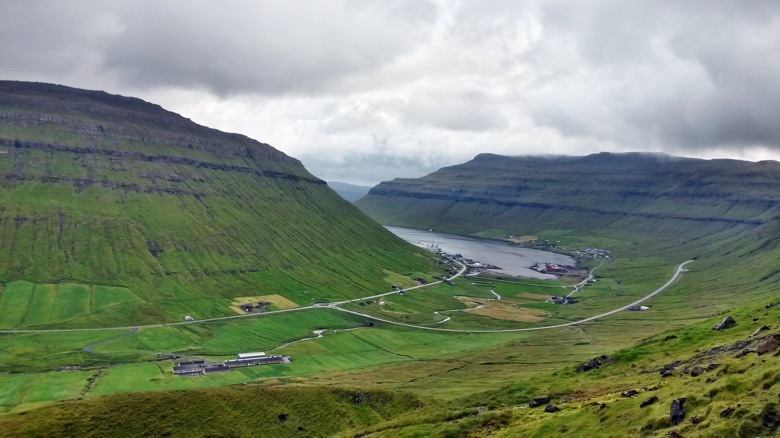
View from Sornfelli
View from Sornfelli Mountain on Faroe Islands
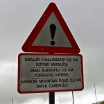
dlUm den 725m hohen Berg Sornfelli zu erreichen musste ich auf eine andere Insel fahren. Die Insel Vágar ist über einen Maut-Untersee-Tunnel mit der Insel Streymoy verbunden.Die letzten drei Kilometer ist eine enge einspurige Straße, die sich den Sornfelli hochschlängelt. Die tiefhängenden Wolken erlaubten höchstens 30m Sichtweite … hoffentlich kommt mir niemand entgegen! Die Fahrt kam mir schweißtreibender vor als eine Besteigung.To reach the 725m high Sornfelli mountain I had to go from Vágar Island to Streymoy Island. These two islands are connected by a 6km long subsea tunnel.The last three kilometers at Sornfelli is a single track road. Because the clouds were very low today, it was exhausting to drive up the mountain.
the only spectators today

The sight were max 20 to 30m. So sadly I have nothing seen, where I was.

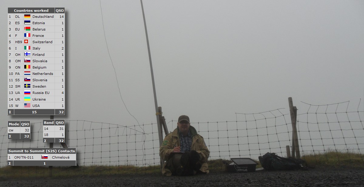
The antenna was a linked dipole with a FT-817 ND transceiver at a 10m GFK mast. The temperature was about 7°C with light rain. No conditions for a long stay.
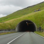
The Subsea Tunnel
The Subsea Tunnel
Caution!
Caution!
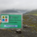
a quick Geocache
a quick Geocache

dlIch begann auf 20m mit dem Funkbetrieb. Sehr schnell waren 31 Stationen im Log. Dann probierte ich 30m und 40m, aber der gleiche Effekt wie diesen Sommer in Schweden und Norwegen: kein QSO. Auf 18MHz war einiges los, es meldete sich aber nur eine Station bis der Regen so heftig wurde, dass ich abbrechen musste.I started CQing on 20m. Very quick were 31 stations in the log. A qsy to 30 and 40m brought no qso. The same effect like in Sweden and Norway this summer. On 18 MHz I reached one station. Then the heavy rain forced me to make qrt.
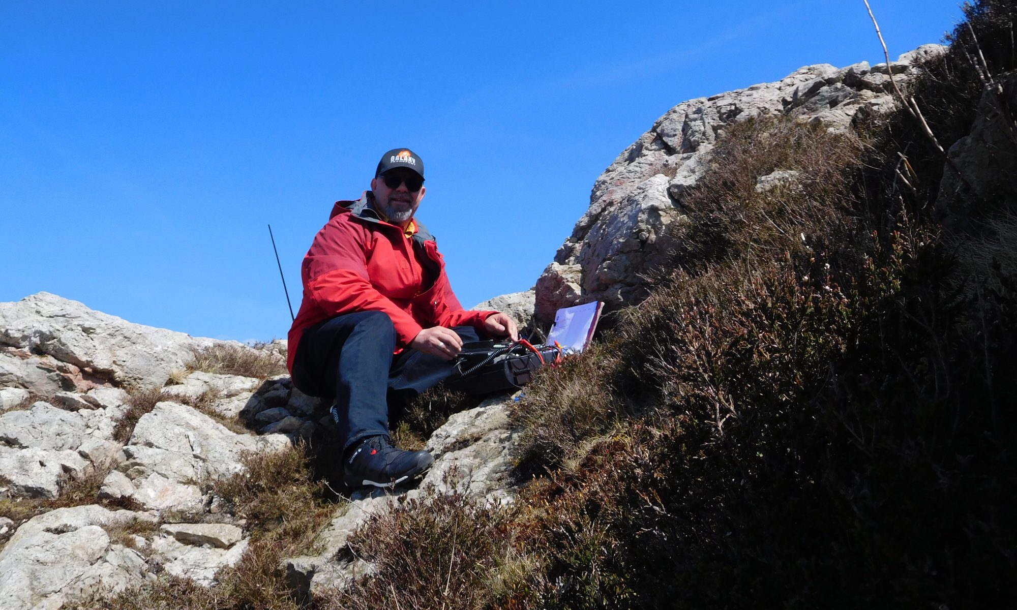
CQ CQ CQ
CQ CQ CQ


Diese Seite verwendet Cookies, um die Nutzerfreundlichkeit zu verbessern. Mit der weiteren Verwendung stimmst du dem zu.

Datenschutzerklärung