Bergaktivierung #420 / 08-Feb-2014

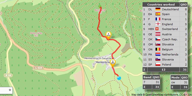
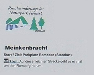
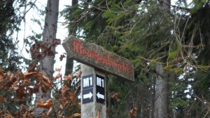
![]() Der Wanderparkplatz Romecke befindet sich südlich von Meinkenbracht (Sundern). Von hier startet der Rundwanderweg „M1“: es geht einmal rund um den Ramberg. Am Ende der asphaltierten Straße biegt der Wanderweg nach rechts ab, will man jedoch zum Gipfel, muss man nach links und einfach immer diesem Weg folgen, bis es nicht mehr höher geht.
Der Wanderparkplatz Romecke befindet sich südlich von Meinkenbracht (Sundern). Von hier startet der Rundwanderweg „M1“: es geht einmal rund um den Ramberg. Am Ende der asphaltierten Straße biegt der Wanderweg nach rechts ab, will man jedoch zum Gipfel, muss man nach links und einfach immer diesem Weg folgen, bis es nicht mehr höher geht.
![]() The parking site for hikers „Romecke“ is located south of Meinkenbracht (Sundern). From here starts the circular route „M1“: it goes once around the Ramberg. At the end of the paved road, the trail turns right, but you want to the summit, you have to walk left and just always follow this path until it does not go higher.
The parking site for hikers „Romecke“ is located south of Meinkenbracht (Sundern). From here starts the circular route „M1“: it goes once around the Ramberg. At the end of the paved road, the trail turns right, but you want to the summit, you have to walk left and just always follow this path until it does not go higher.
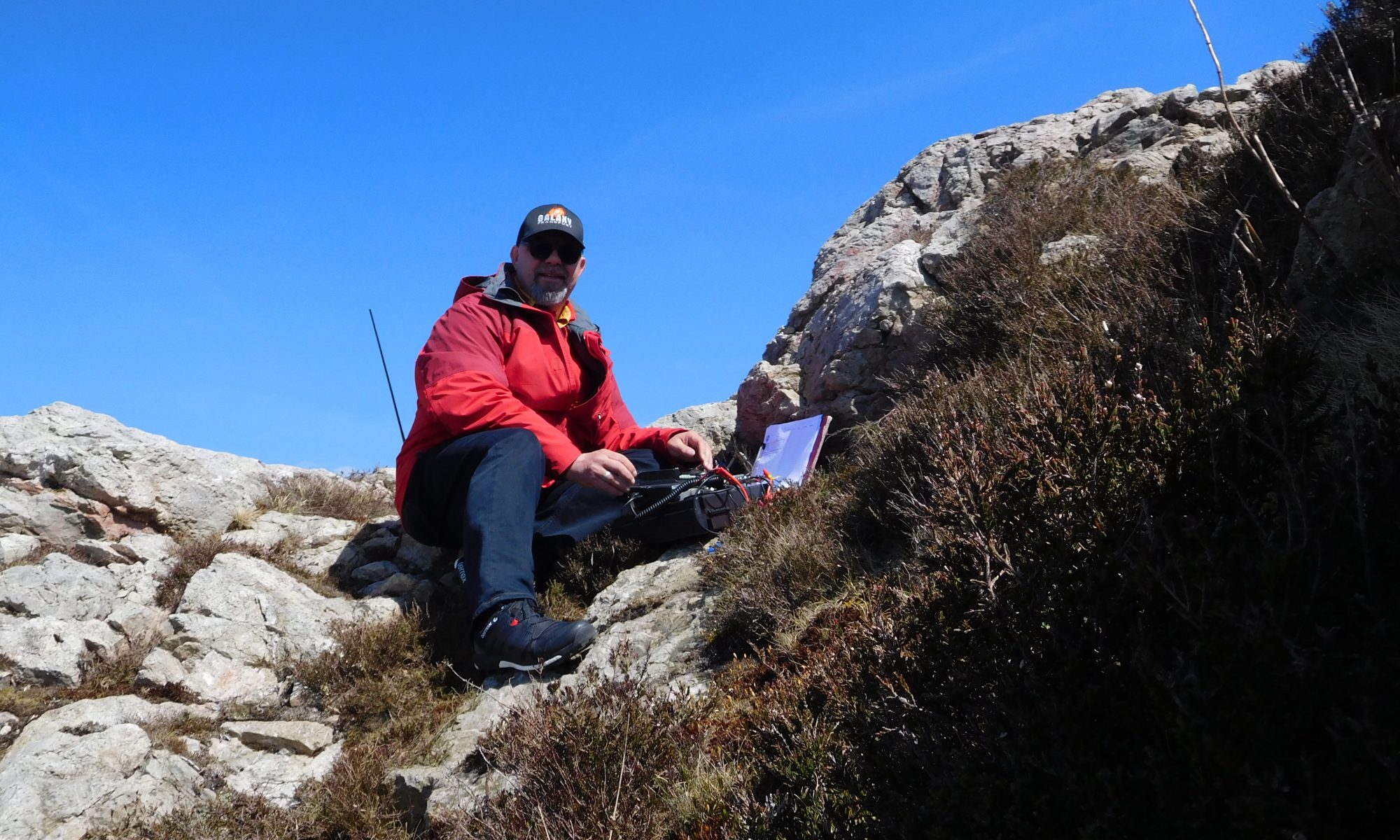
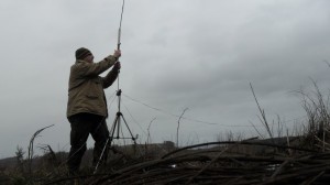
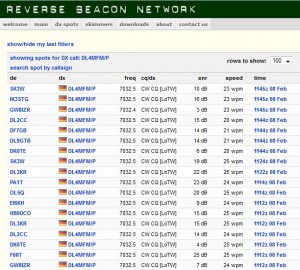
![]() This weekend I just wanted to make QRP. FT-817 equipped with LiPo, connect antenna and Morse key and off you go. Despite this minimal equipment 31 QSO found their way in my log.
This weekend I just wanted to make QRP. FT-817 equipped with LiPo, connect antenna and Morse key and off you go. Despite this minimal equipment 31 QSO found their way in my log.
